Field report
Magnetometry without the mystery: flying a Pickaxe grid
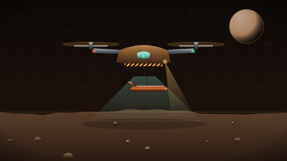
Magnetometry is the oldest trick in the prospector's book, and still the cheapest way to find metal in the Belt. Iron-nickel bodies, and the platinum-group metals that travel with them, distort the local magnetic field. Fly a sensitive magnetometer over a rock in neat lines, and the distortion draws you a map of where the metal is. This post is how my team plans those flights.
We use the Pickaxe Survey Drone for almost everything. It is a two-metre aerial magnetometer drone with an 18 kg sensor payload, a lithium-sulfur battery and a fold-out solar wing that keeps it flying at a modest 3.2 kW. A single drone can cover a 120-kilometre survey range and resolve bodies down to about 400 metres below the surface. At 0.85 Mc, one operator and a helper, it is the tool most crews buy first.
Line spacing is the decision that matters. Too wide and you miss small pods; too tight and you waste battery. Our rule of thumb is spacing equal to the depth of the target. Looking for something 100 metres down? Fly lines 100 metres apart, at a height of roughly half that. Tie lines across the main grid every kilometre help remove drift.
For larger bodies we launch drones directly from a Valkyrie Survey Corvette. The corvette parks a few kilometres off, releases four Pickaxes and recovers them a day later. It is how we flew the Belt Aeromagnetic Grid 2186, which covered 1,840 asteroids and produced a target list of 612 bodies with promising PGM signatures.
Once the data is in, run it through the MagFuse Inversion Engine to turn a flat anomaly map into a three-dimensional estimate of where the metal sits. Then, and only then, call the drillers. A magnetic high is a promise, not a deposit.